Community Wildfire Protection Plan
Community Wildfire Protection Plans (CWPPs) help communities assess local hazards and identify strategic investments to mitigate risk. In Spring of 2020, both Inter-Canyon and Elk Creek Fire Protection Districts (FPDs) recognized the need to update their CWPPs. At the same time, a potential consolidation of the districts (still in the process) and the creation of an Elk Creek and Inter-Canyon Wildfire Division was being discussed. In order to prioritize the limited resources of both districts, it was decided to move forward with the planning process together. This cross-boundary collaboration maximized limited resources while finding efficiencies within existing mitigation programs in both districts.
- Planning Process
The Ember Alliance was contracted to manage the planning process, develop mapping tools, and facilitate stakeholder engagements. Initial steps consisted of data gathering both from partners and ground truthing the entire 152 square mile planning area.
In fall of 2021, we contacted agencies and organizations with a shared interest in mitigation of wildfire hazards across the two districts. Partners like Colorado Parks and Wildlife, the Colorado State Forest Service, the US Forest Service, Jefferson County Open Space, Jefferson County Road and Bridge, Jefferson County Emergency Management, Jefferson Conservation District, Denver Water, Denver Mountain Parks, and CORE Electric Cooperative have valuable assets within and adjacent to the community. We are grateful to CORE Electric Cooperative, Jefferson County, Colorado State Forest Service, and others for sharing geospatial data about their infrastructure across the combined study area.
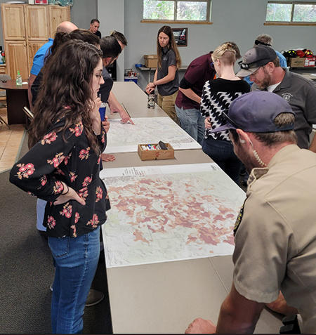
Land Managers and wildfire experts were invited to review initial CWPP outputs, provide feedback, and propose mitigation opportunities across the combined fire district analysis
- Wildfire Environment
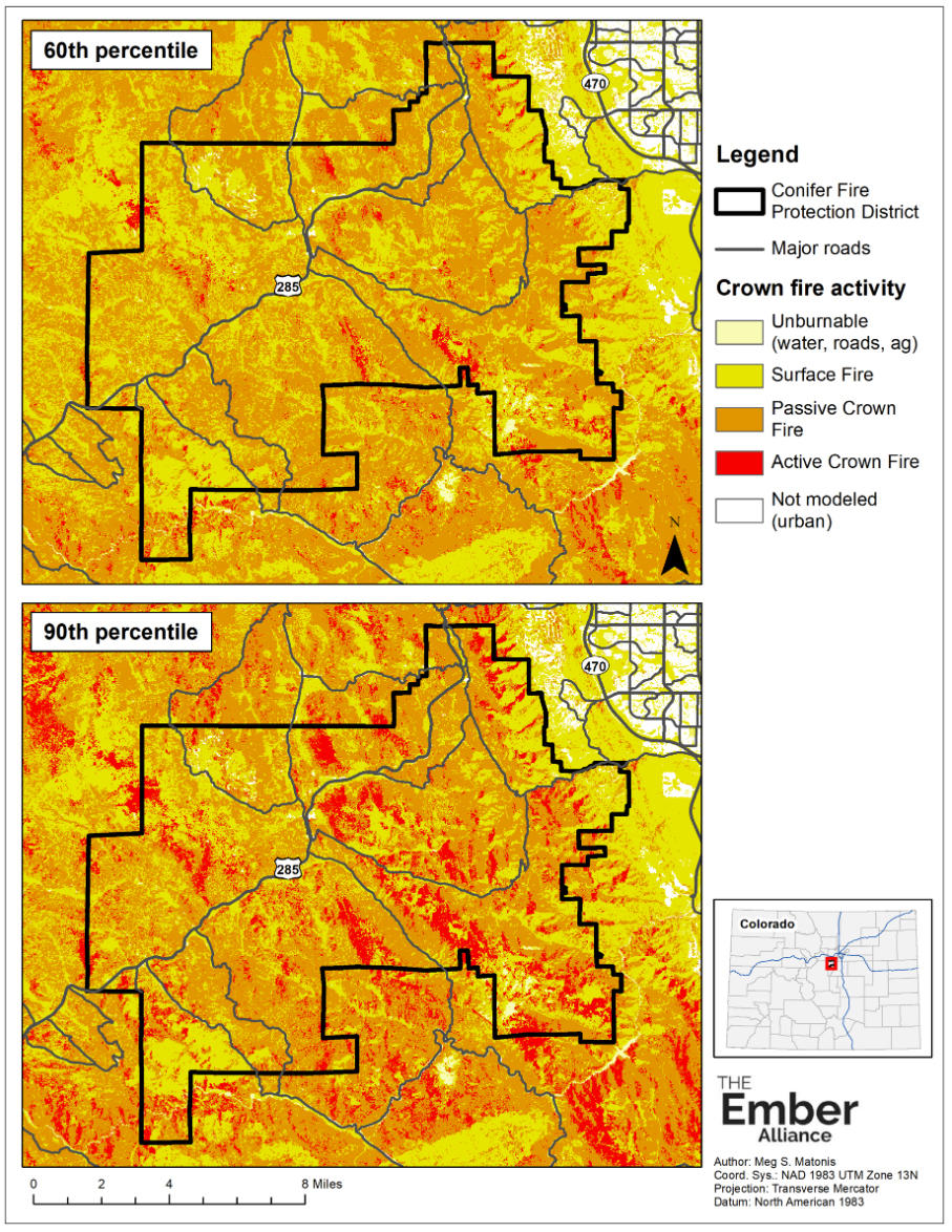
A significant portion of the CWPP process involved modeling fire behavior in the various fuel types and potential weather conditions. Below is an example of a fire behavior product that illustrates various fire conditions based on fuels, topography and two different weather scenarios.
- Planning Units
Planning units were developed based on access/egress, fireshed analysis, already formed social boundaries (HOAs), and topography. Breaking the entire CWPP area into planning units allows the fire districts to focus and organize mitigation tools more specifically across the larger landscape. Get to know which planning unit you belong to below!
- Relative Risk Ratings
The relative risk ratings were generated utilizing the planning unit concept. This analysis allows the fire districts to prioritize mitigation actions based on relative risk across the 152 square mile area. The main inputs of this analysis were based on fire risk, evacuation hazards, home ignition zone hazards, and suppression difficulty. The Roadway Treatment Priority analysis identifies potential fire intensity and congestion along roadways during a fire event based on roadside fuel loading and modeled roadway efficiency under high-demand scenarios. This analysis should not be misconstrued as an evacuation plan. The primary purpose of this model helps prioritize and plan roadside mitigation actions through out the study area.
- Take Action
The CWPP is still being developed at this time. However, findings from the plan do include the following actions:
- Individual residents need to:
- Create defensible space around your home and structures.
- Harden your home as best you can.
- Be prepared for an evacuation – have a plan and a go-bag ready.
- Maintain driveway clearance for fire apparatus access to your home
- Communities, neighborhoods, and HOAs need to work together to:
- Educate your neighbors about the current level of fire danger in the district.
- Create linked defensible space between your homes where appropriate.
- Ensure roads in your neighborhoods have adequate fire apparatus access and remove heavy fuel loading that can impede access and egress to your planning unit.
- Agencies and cross-boundary organizations (including the FPDs) need to:
- Continue outreach and education on the dangers posed by living in the WUI and work with homeowners and communities to mitigate them.
- Work with stakeholders in the area to plan and implement landscape scale fuel treatments guided by the tenants of the fire adapted community model.
- Individual residents need to:
- Available Programs
Wildfire Prepared
The Wildfire Prepared home assessment program provides an in-depth assessment specific to your property, giving you a detailed work plan to reduce the risk of wildfire to your home and surrounding defensible space.
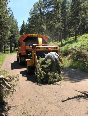
Community Chipping Program
The Community Chipping Program provides a free slash removal service to constituents in both the Elk Creek and Inter-Canyon FPDs, reducing the logistical impediments to implementing defensible space.
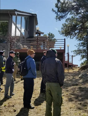
Community Ambassador Program
The Community Ambassador Program provides a planning and organizing structure for each planning unit. Each ambassador is a volunteer trained by the districts to streamline communication between the community and fire department personnel, organize community projects, and develop a team atmosphere to promote fire mitigation in their planning unit.
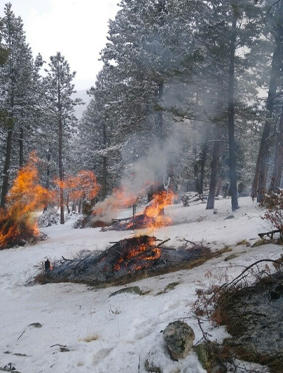
Wildfire Suppression Module and Fuels Crew
The Wildfire Suppression Module and Fuels Crew provide wildfire suppression expertise while implementing fuels reduction projects throughout the community.
CWPP Public Meeting
If you did not make the CWPP public meeting, please watch the entire recording below!
